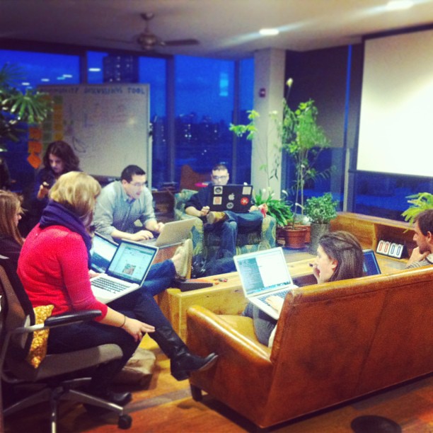
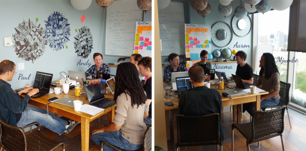
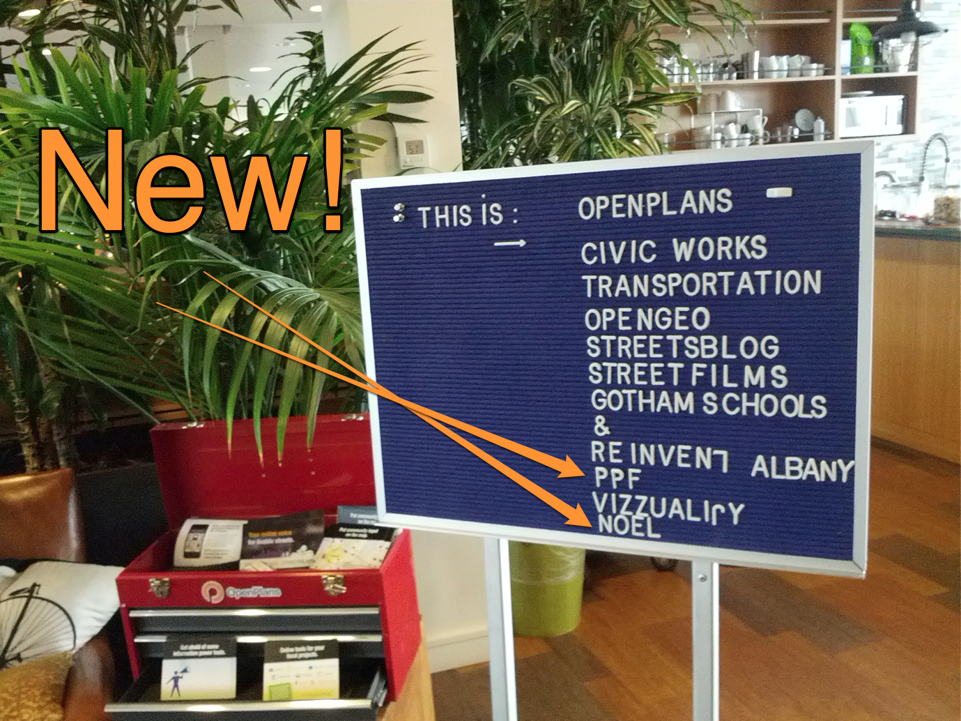
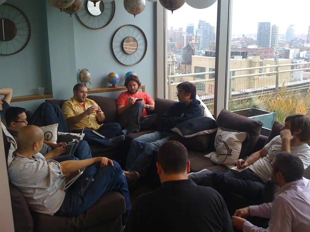
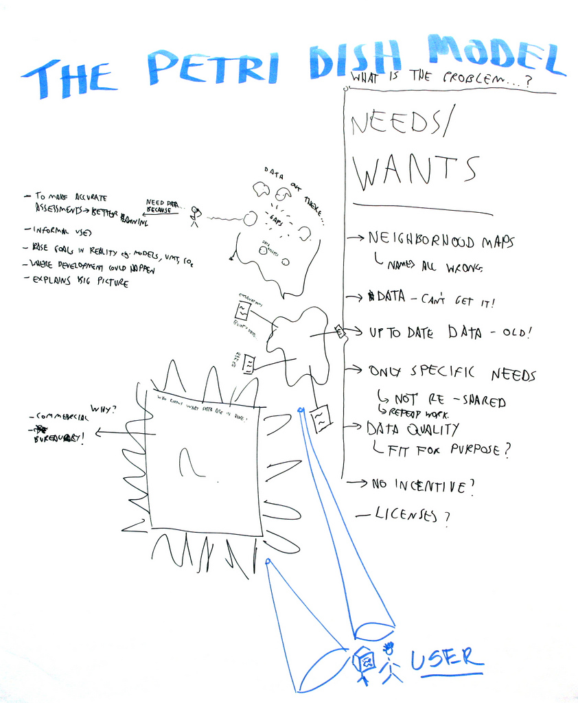
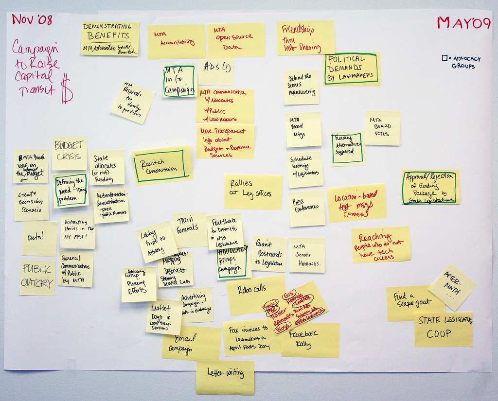
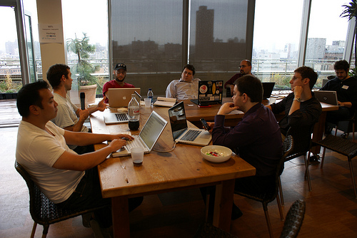
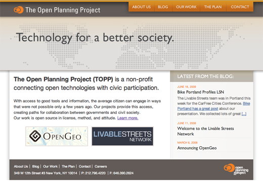
After ten years of building impactful software and incubating talented people, the OpenPlans software team has closed. Sustaining our deeply-held belief in making cities better through technology & participation, we built well-crafted open source software, advanced open data policies, and increased livability in our cities—with occasional organizational refreshes along the way.
(Find our software tools and some history below.)
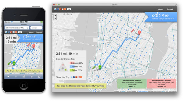
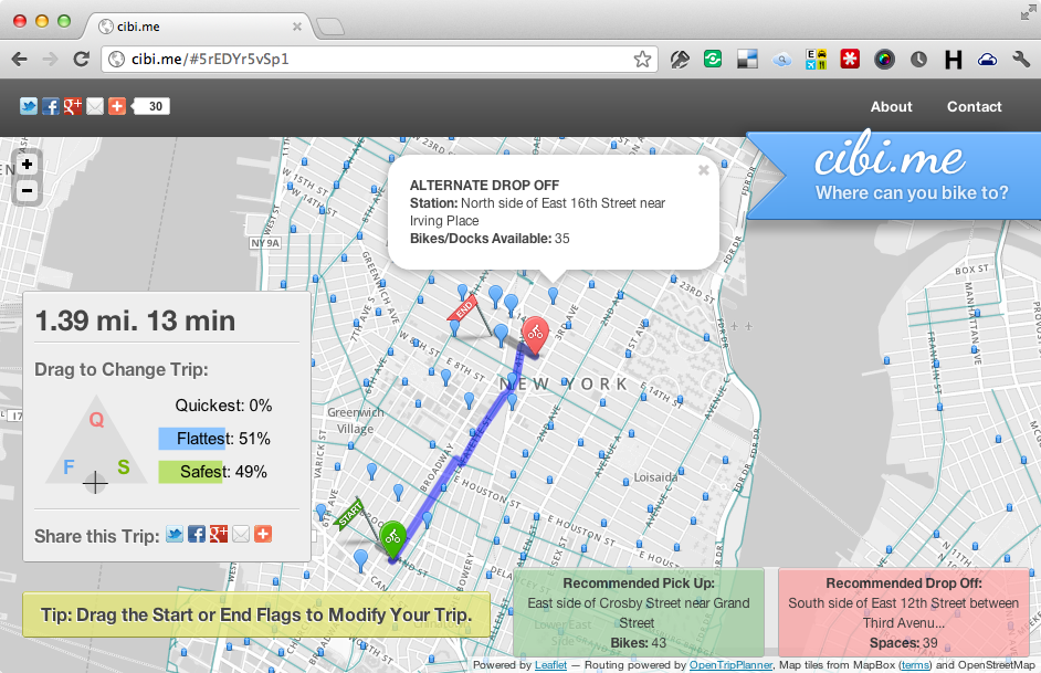
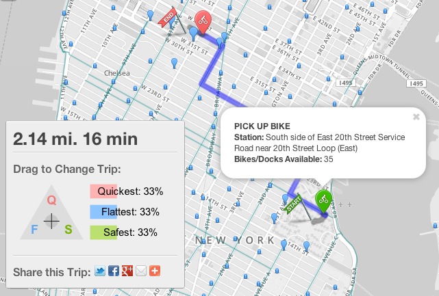
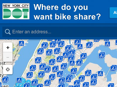 NYC Bike Share
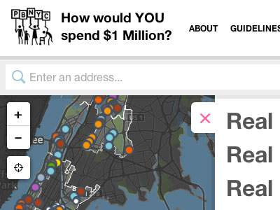 Participatory Budgeting
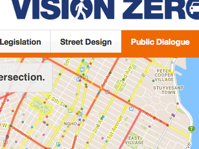
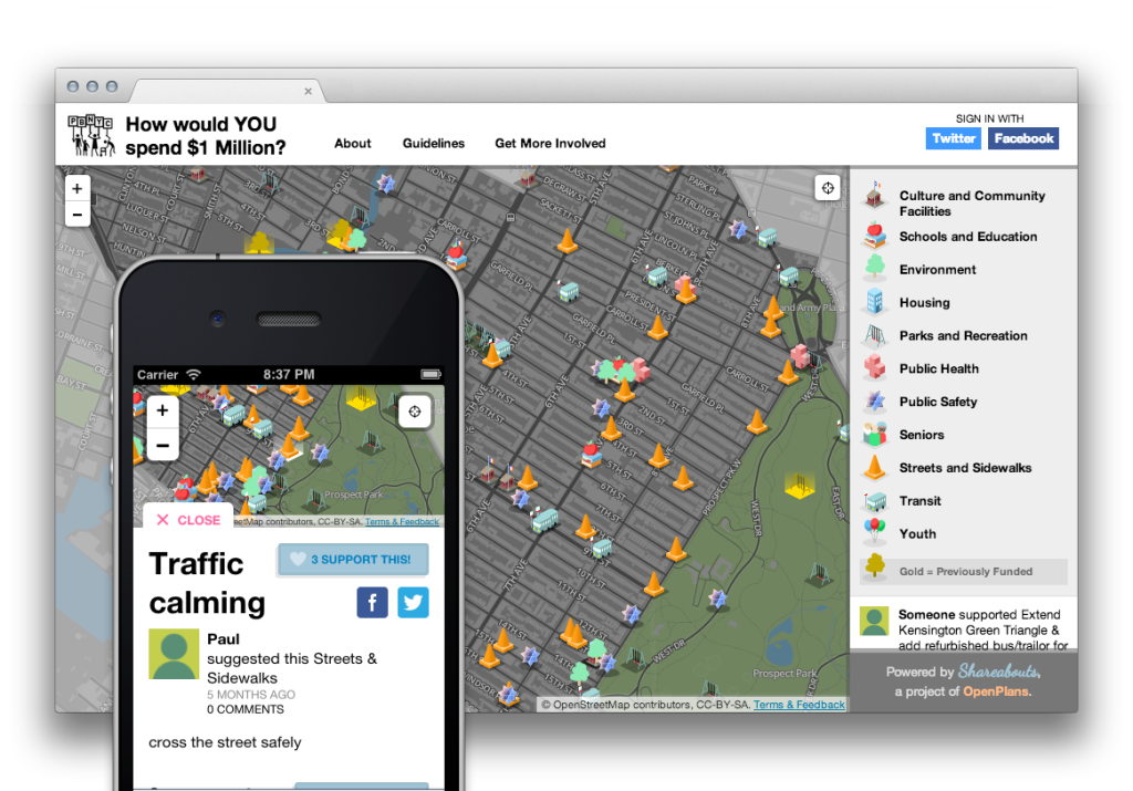
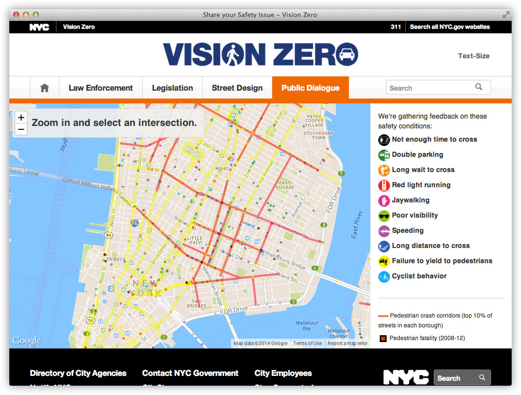
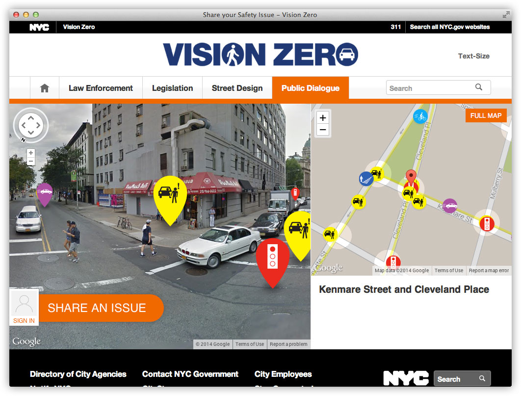
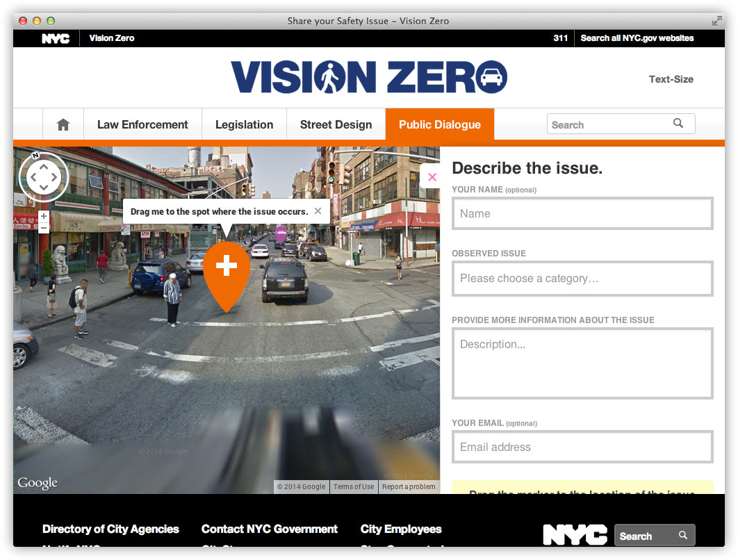
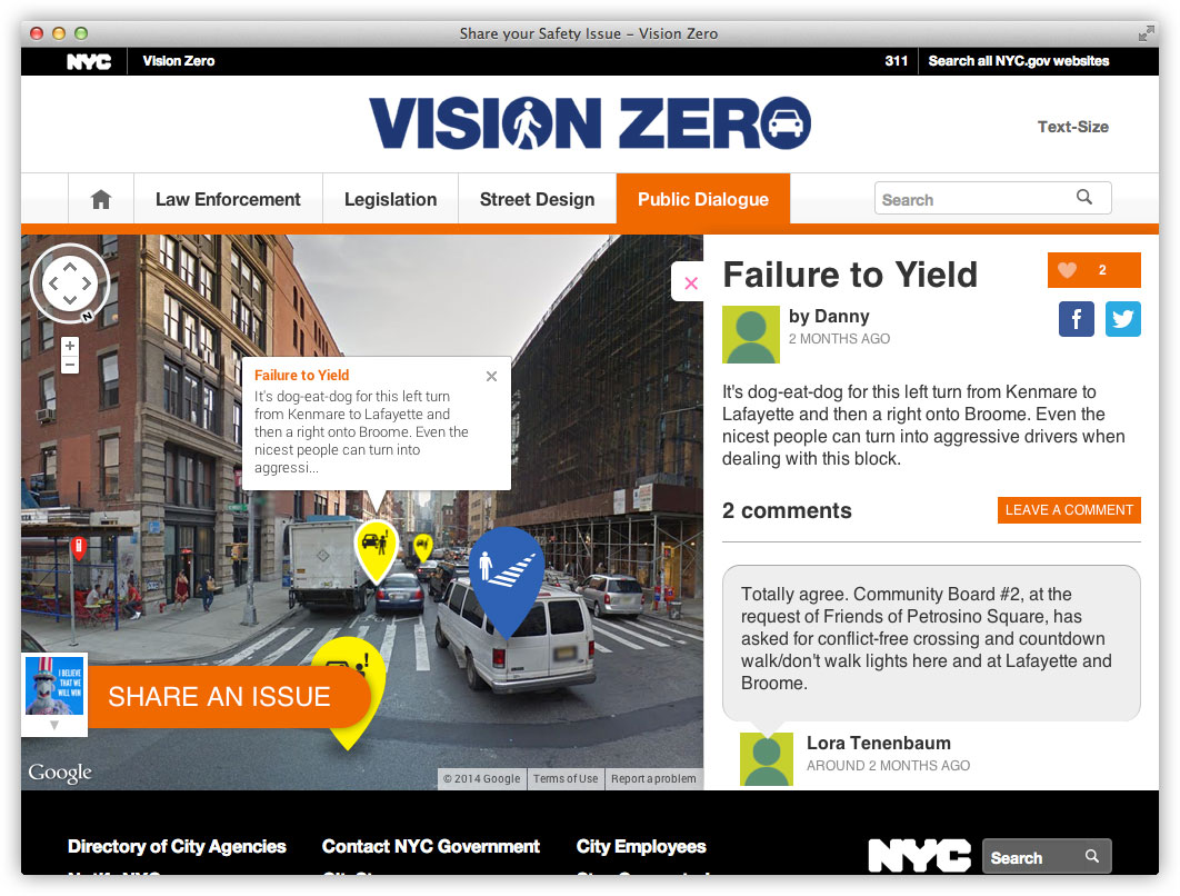
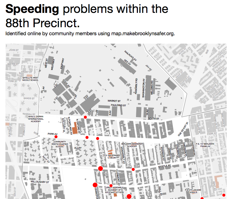
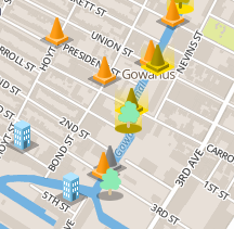
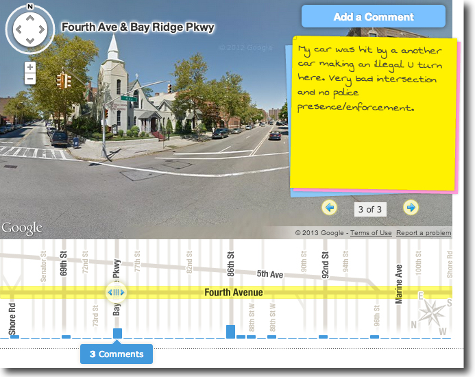
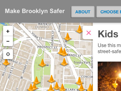 Make Brooklyn Safer
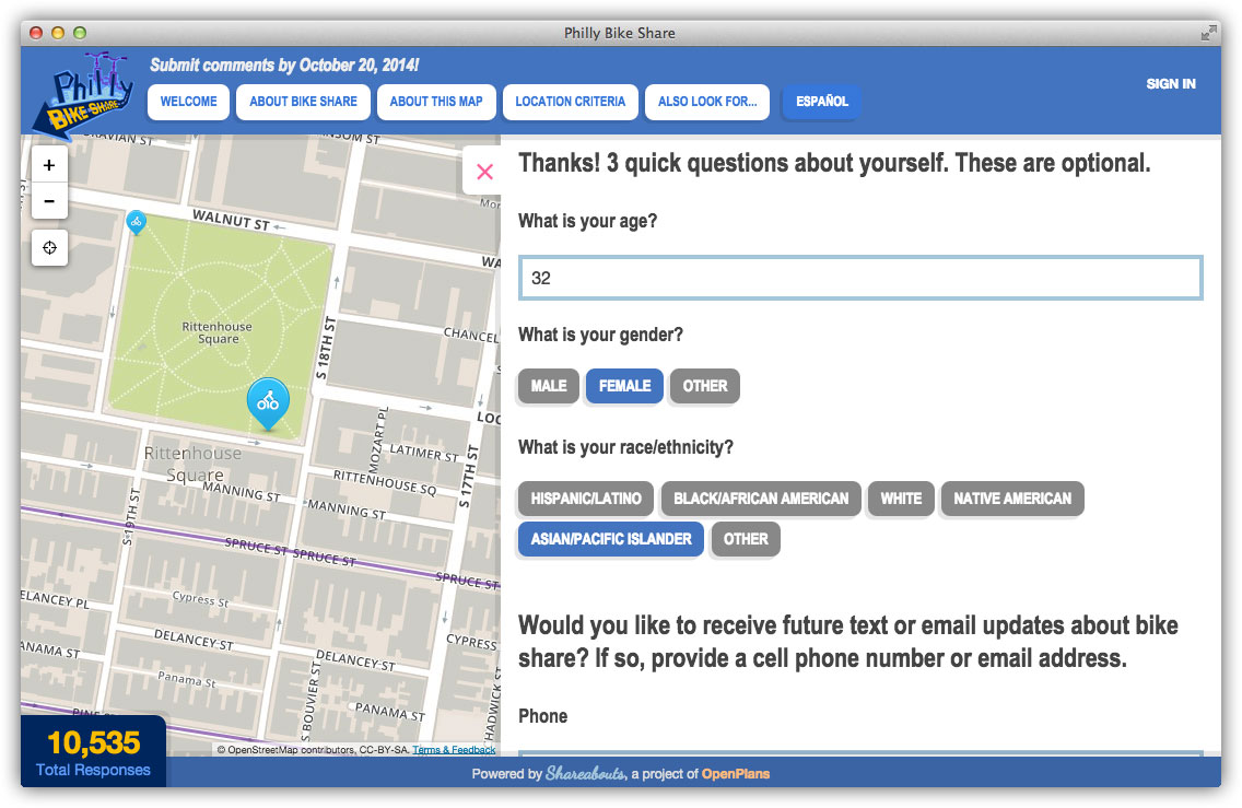
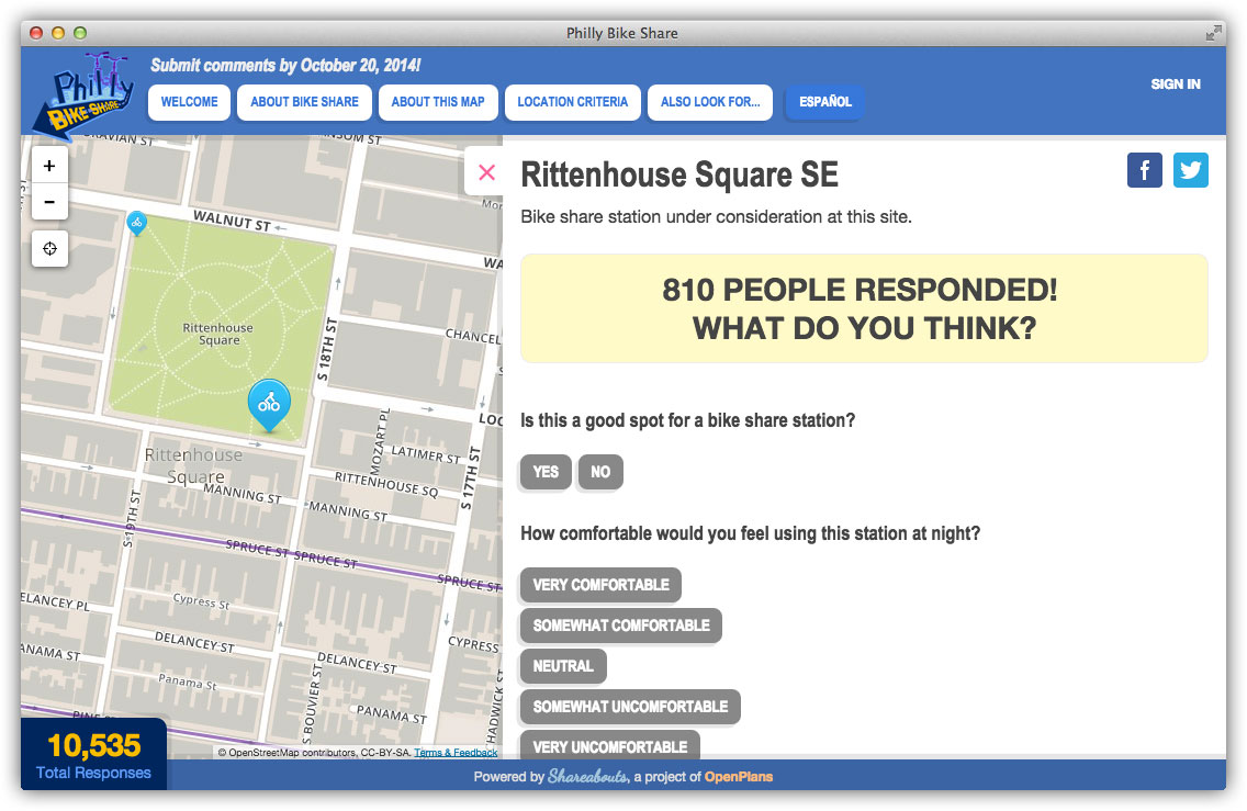
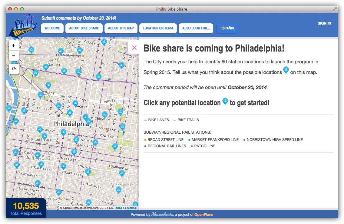
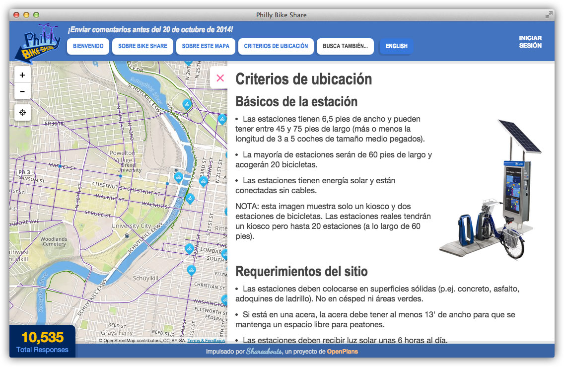
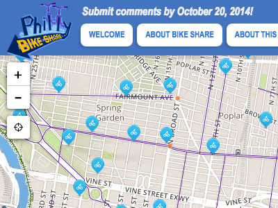 Philly Bike Share
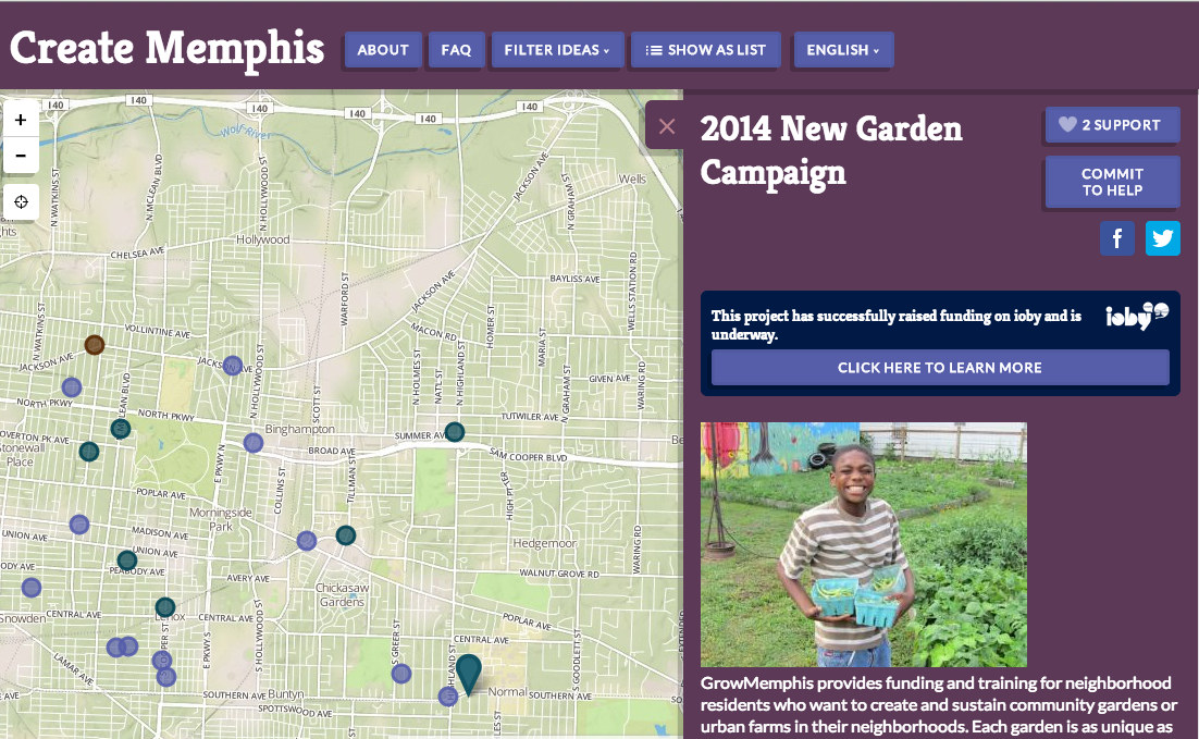
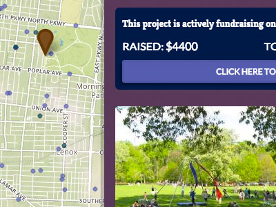 Create Memphis
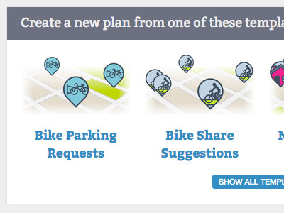
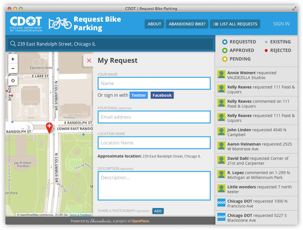
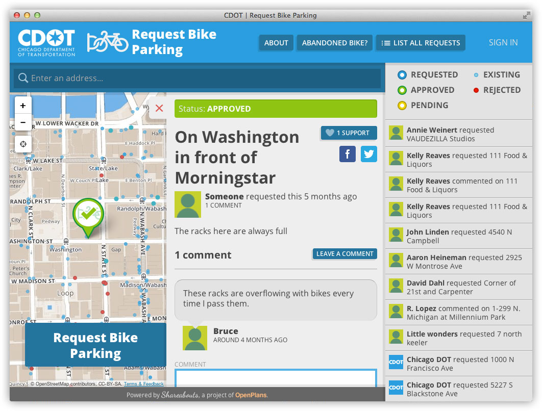
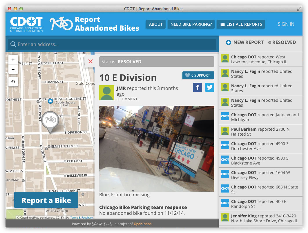
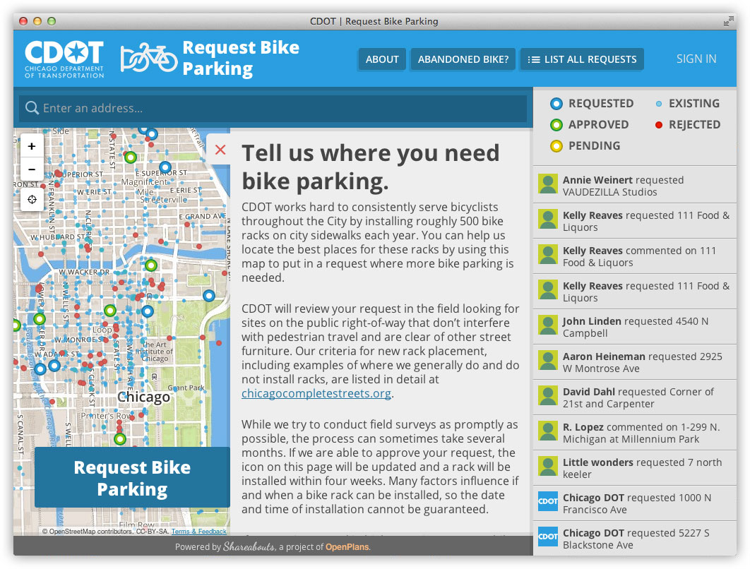
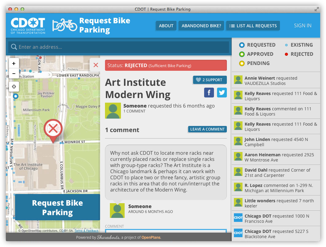
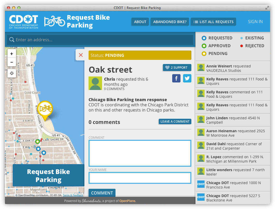
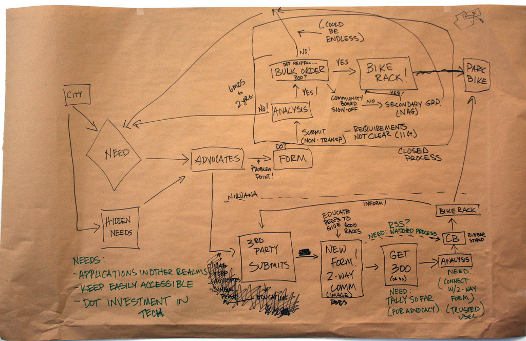
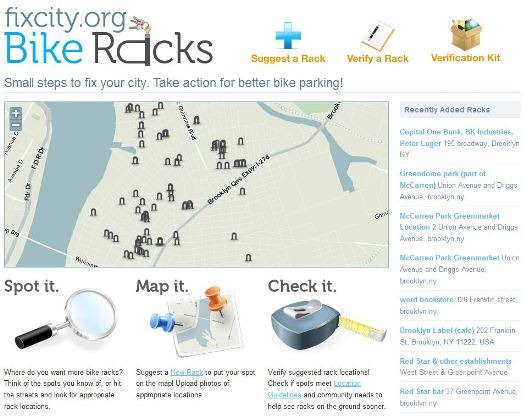
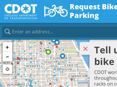 CDOT Bike Parking
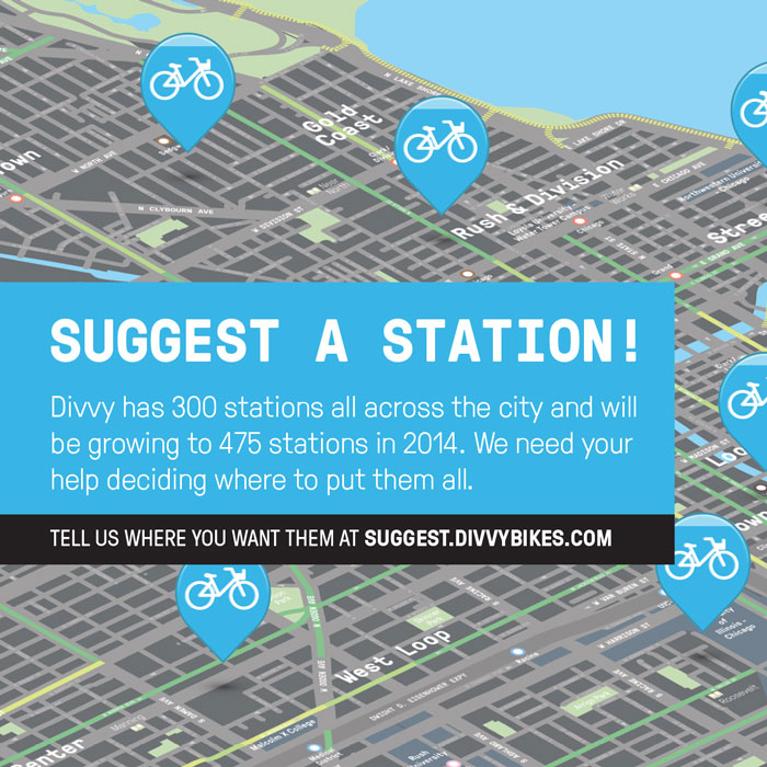
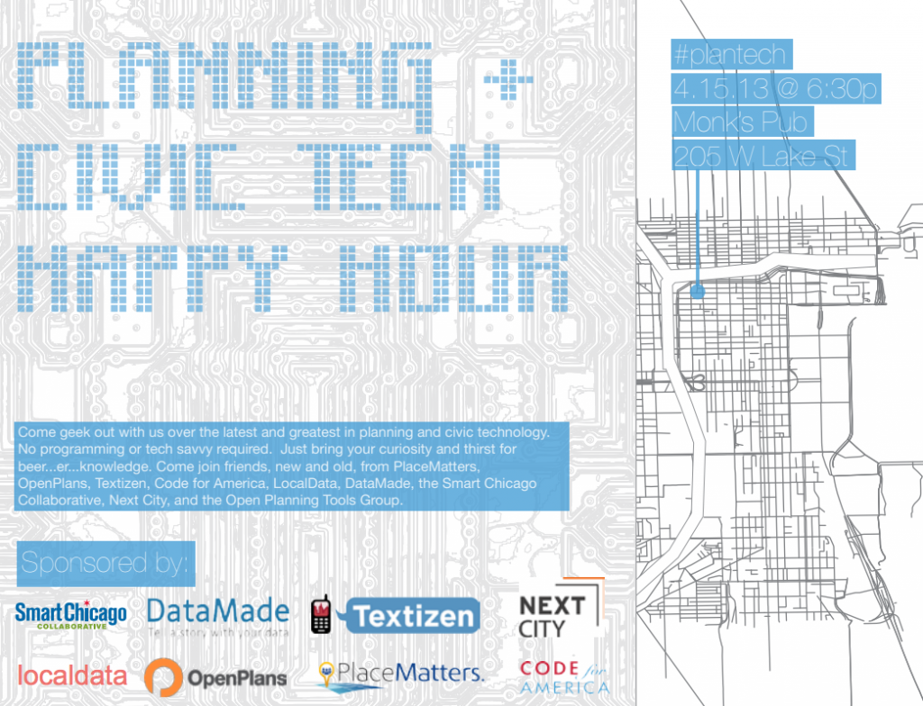
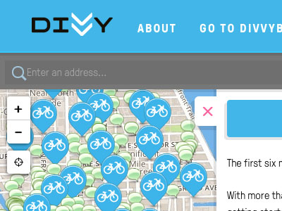 Divvy Bikes
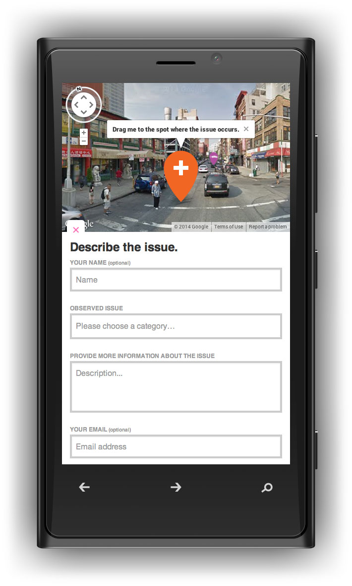
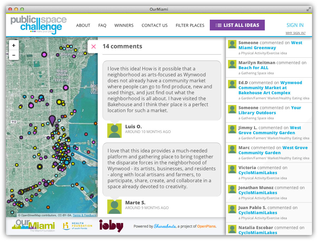
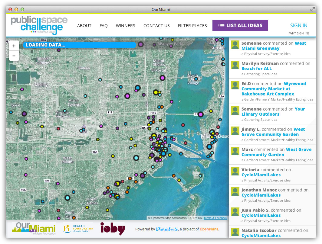
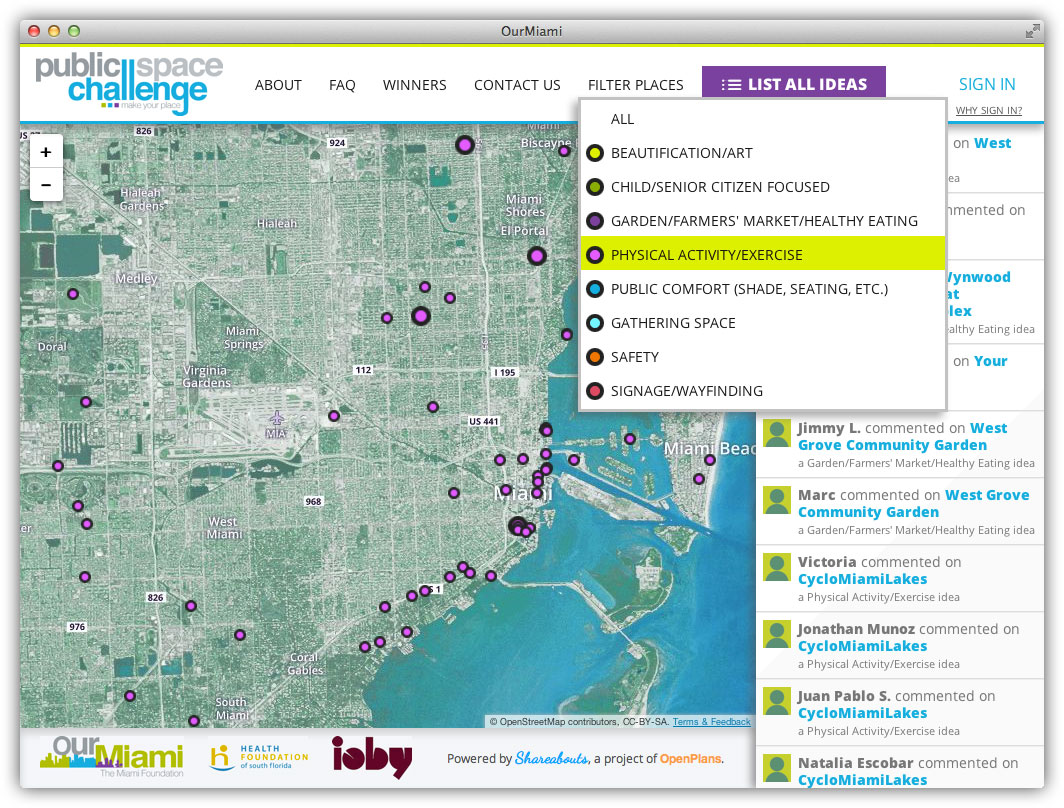
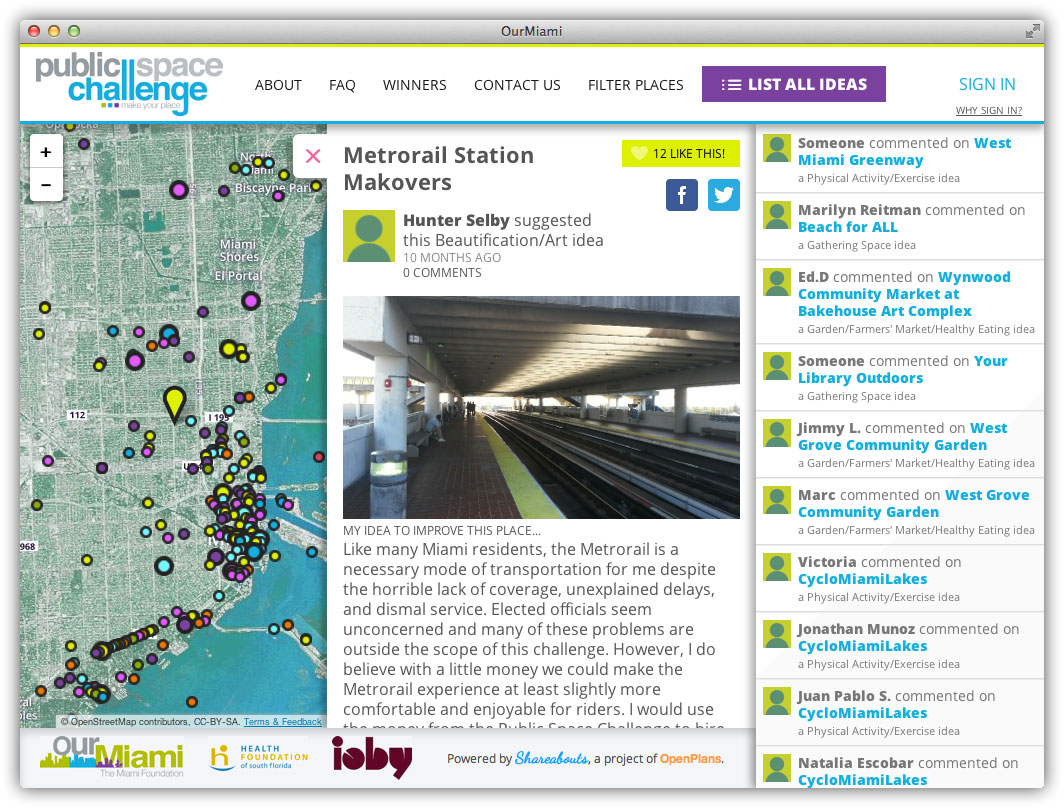
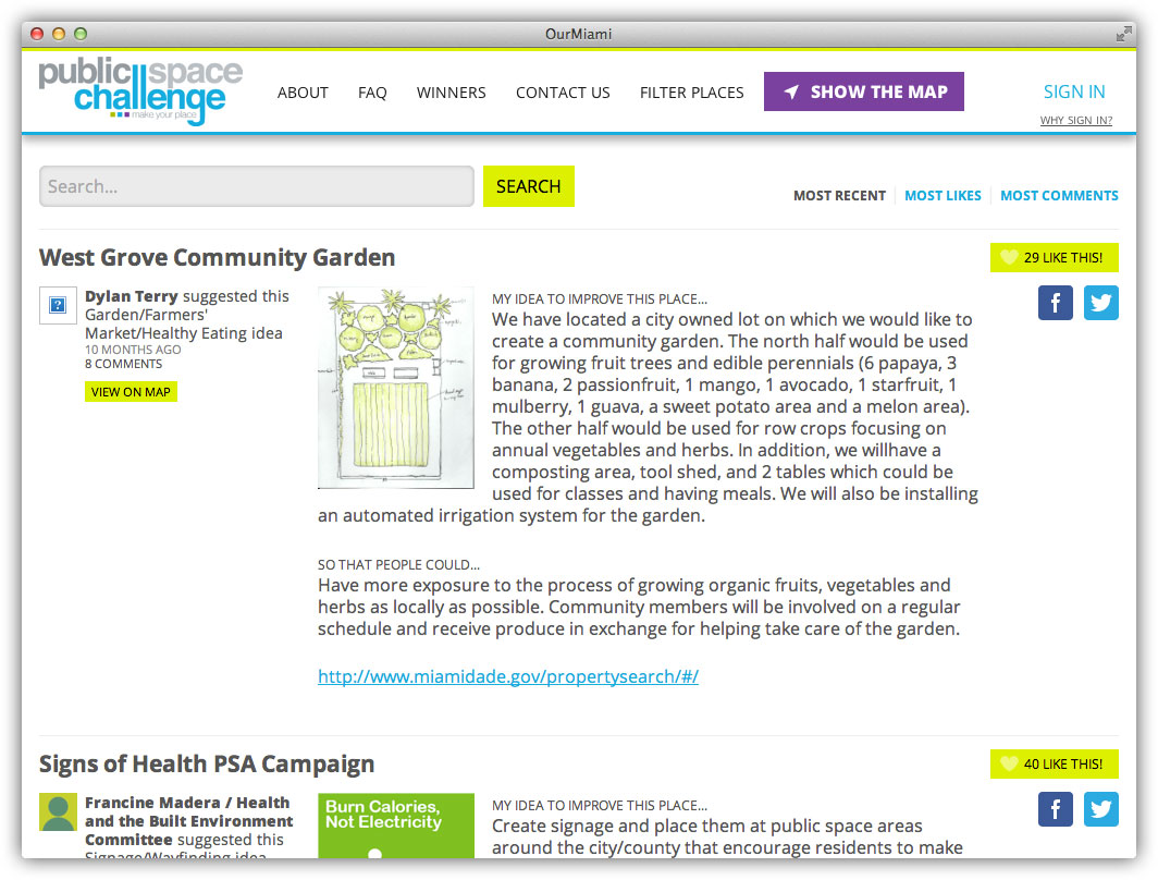
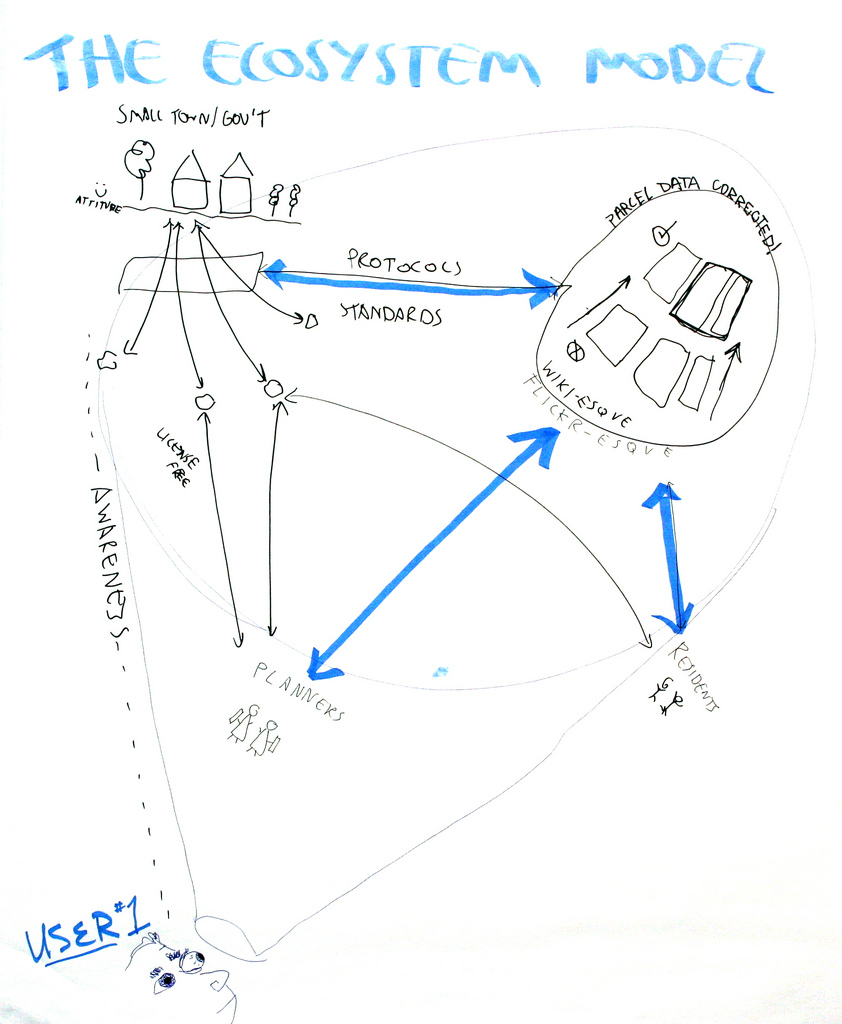
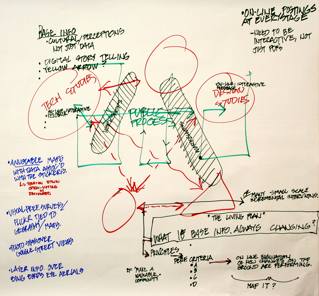
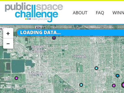 Our Miami Ideas


